Instant Track – 73 Review
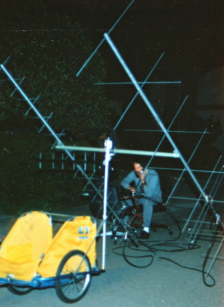
In 1989, I was passionately in love with the OSCAR 13 satellite, as well as laying the groundwork for use of the Microsats from the new version of the bicycle. My KLM crossed-yagi antenna array had to be aimed at the right spot in the sky to work the birds, and I used what was jokingly called an Armstrong Rotor… my own muscles, guided by the output of a satellite tracking program, a compass, and a primitive sextant for elevation. This review has an extra bit of personal history; as I was writing it, I got to know the author of the program, Franklin Antonio. He was a big part of the initial team at Qualcomm, and one thing led to another… the company ended up becoming one of my sponsors, with BEHEMOTH carrying an OmniTRACS terminal for satellite datacomm.
Instant Track
The slickest Tracker yet!
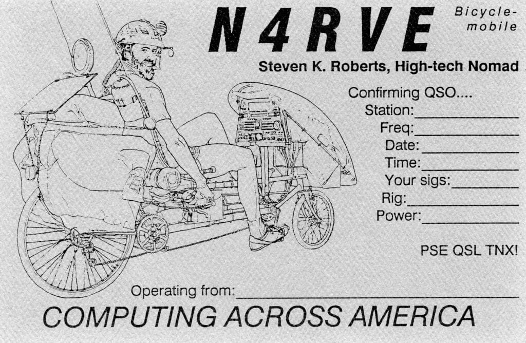
Review by Steven K. Roberts, N4RVE
73 Magazine
November, 1989
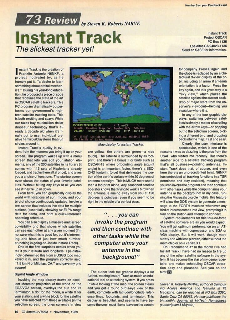
Instant Track is the creation of Franklin Antonio N6NKF, a project motivated by, as he humbly put it, “a desire to learn something about orbital mechanics.” During his year-long education, he produced a piece of code that redefines the state of the art in OSCAR satellite trackers. This PC program dramatically outperforms our government’s high-tech satellite tracking tools. This is both exciting and scary: While our taxes buy multimillion dollar dinosaur technology that’s already a decade old when it’s finally put to use, individual creative hams build systems that run circles around it.
Instant Track’s quality is evident from the moment you bring it up on your screen. The program wakes up with a menu screen that lets you edit your station elements, any of the 200 satellites in its library (it comes with 115 sets of Keplerians already loaded, and tracks them all at once), and gives you a choice of functions. The startup screen even shows the status of your favorite satellites. Without hitting any keys at all you can see if they’re up or down.
From here, you can graphically display the world with locations of sun, moon, and your bird of choice continuously updated, invoke a text screen that includes live data for multiple stations (essentially showing AZ-EL-PA-range data for each), and print a quick-reference operating schedule.
You can also display a massive multiscreen co-visibility grid that shows which satellites can see each other at any given moment (I’m not sure what this is good for, but it’s interesting — and hints at just how much number-crunching is going on — inside Instant Track).
One of the first surprises occurs when you tell it your latitude and longitude. I painstakingly determined this from a USGS topo map, keyed it in, and the program correctly said: “1.8 km N of Milpitas, CA,” and gave my grid square!
Squint Angle Window
Invoking the map display draws an excellent Mercator projection of the world on the EGA/VGA screen, overlays the sun and its terminator, a dot for the moon, a white X for your station, and a white block for the satellite you have selected from those available (in the selection screen, the ones currently in view are yellow, the others are green — a nice touch). The satellite is surrounded by its footprint, and there’s a bonus: For birds such as OSCAR-13 where offpointing angle (squint angle) is an important factor, there’s a SECOND footprint (blue) that delineates the portion of the earth’s surface within 20 degrees of antenna boresight. This is MUCH more useful than a footprint alone. Any seasoned satellite operator knows that trying to work a bird when the antenna is aiming away from you at 120 degrees is pointless, even if you seem to be right in the middle of a perfect pass.
The author took the graphic displays a lot further, making Instant Track as much an educational tool as a tracking system. If you press P while looking at the map, the screen clears and you get a round bird’s-eye view of the earth, complete with latitude/longitude reference lines, footprints, and terminator. This display is beautiful, and seems to have become the one I most like to leave on the screen for company. Press P again, and the globe is replaced by an architectural 3-view display of the orbit, including an arrow if antenna orientation is a factor. Press the key again, and this gives way to a “sky view,” which places the satellite against the current backdrop of major stars from the observer’s viewpoint — helping you visualize where it is.
In any of the four graphic displays, switching between satellites is simply a matter of scrolling with the arrow keys — or popping out to the selection screen, picking a different bird, and dropping back into the map. Fast and easy.
Clearly, the user interface is spectacular, which is one of the reasons it was so dazzling to the pros from the USAF who visited me recently. But there’s another side to a satellite tracking program that’s all business — pointing antennas. Instant Track does that, of course, and even here there’s an unprecedented twist. N6NKF has embedded all tracking functions in a TSR (terminate and stay resident), meaning that you can invoke the program and then continue with other tasks while the computer aims your antenna in the background! In my case, running the Microsats bicycle mobile, this feature will allow the DOS system to generate a message to the FORTH machine whenever any bird of interest comes into view, prompting it to turn on the station and attempt to connect.
System requirements for this tour-de-force of satellite software are as you would expect: You will get optimum performance on an AT-class machine with coprocessor and EGA or VGA display. But it will work, though more slowly and with less pizzazz, either without the math chip or on a vanilla XT.
Do I recommend it? In the month I’ve had Instant Track I have had no reason to fire up any of the other satellite software in the system. It has become the star of my demo repertoire, and makes scheduling OSCAR operation easy and pleasant. See you on the bird!
A glimpse of Instant Track in use may be seen in my appearance on KNTV-11 in July.


You must be logged in to post a comment.